Environmental flows
Flood advice
Works on waterways
Grants & tenders
Soil Moisture
Probe Portal
Stay up to date


A healthy Wimmera catchment where a resilient landscape supports a sustainable and profitable community
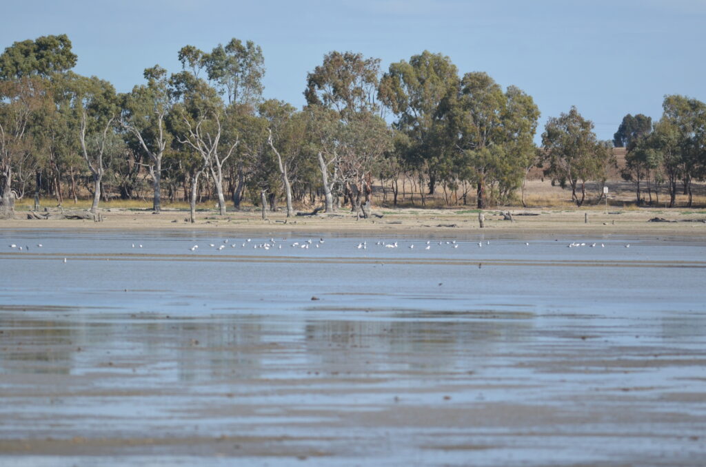
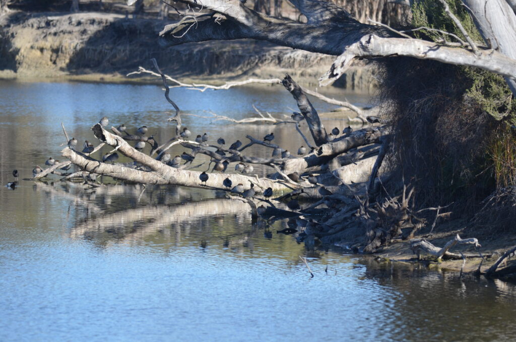
Dock Lake filling post rains in 2022
Take a flight over Wimmera’s rivers and trees
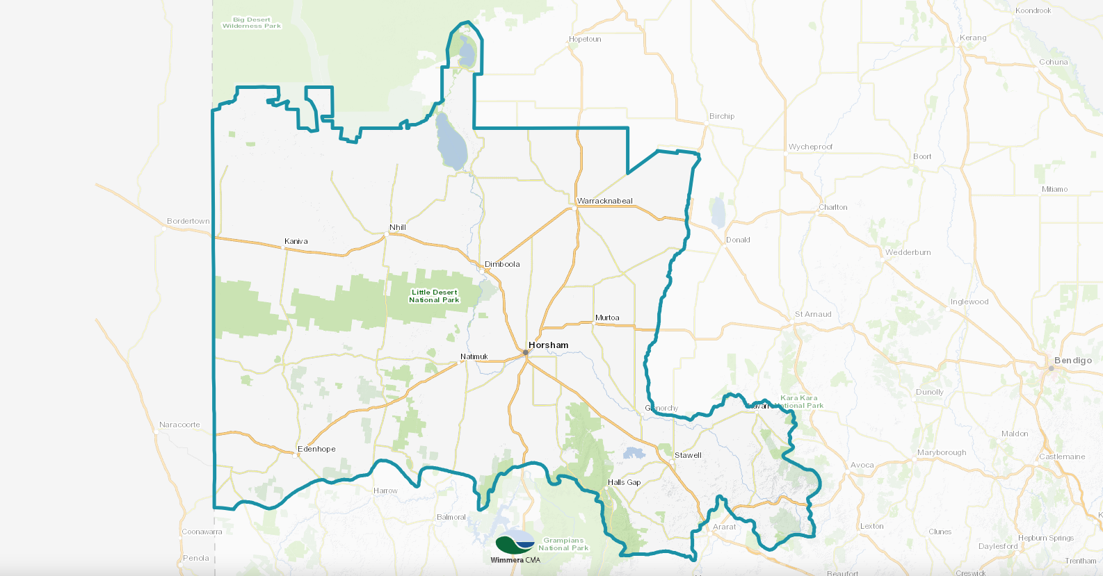
Wimmera catchment map
Click anywhere on the map to open the interactive Wimmera catchment map. How to use the interactive map