Advice and services
Supporting people to enhance and improve the condition of the region’s environment.
Wimmera CMA has made available a range of flood maps and investigations for landholders to determine if properties are subject to flooding.
If you require a formal and specific summary of a property’s potential for flooding, you can request further information direct from the Wimmera CMA.

Wimmera CMA has statutory responsibilities to monitor, manage, enforce, and administer control over all works which may impact upon designated waterways throughout the Wimmera region.
When do you need approval?
Apply for approval
Designated waterways map
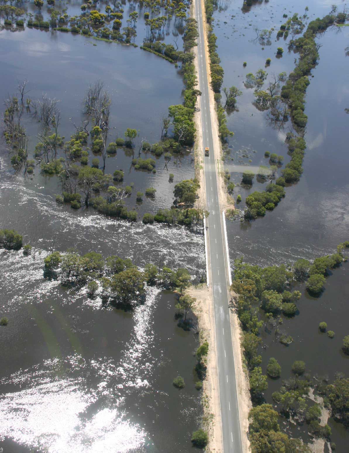
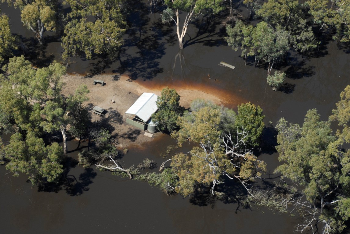
Floods play a significant role upon the Wimmera’s landscape. Most Wimmera towns are built around natural water features such as wetlands, rivers, and creeks. Find out more:
Wimmera CMA’s role in floodplain mangement
Floodplain management strategy
Wimmera CMA provides non-emergency flood information
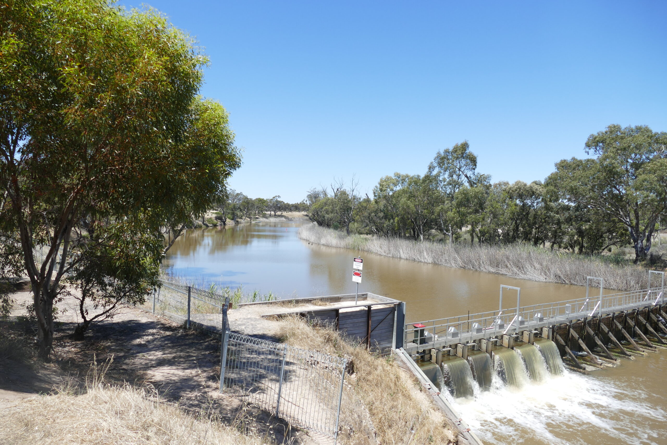
Environmental water releases are designed to supply sufficient volumes based on scientific recommendations to improve conditions for aquatic, wetland, and riparian ecosystems.
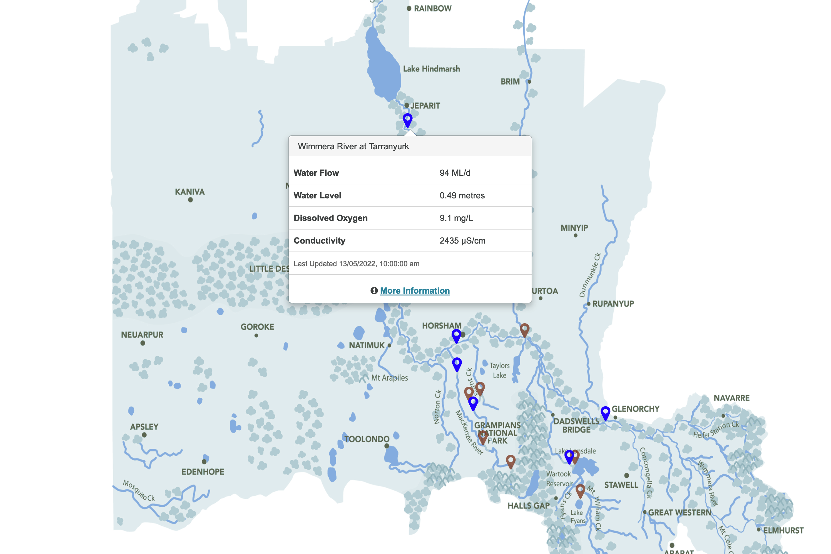
River flows map
Seasonal watering plans
Environmental flows updates
Environmental watering management plan
Alerts via SMS